Browse by topic.
How AI will read your construction site in 2026
Progress, deviation and risk detected automatically from each capture.
Image processing in construction: from pixels to progress
How computer vision turns raw imagery into measurable completion.
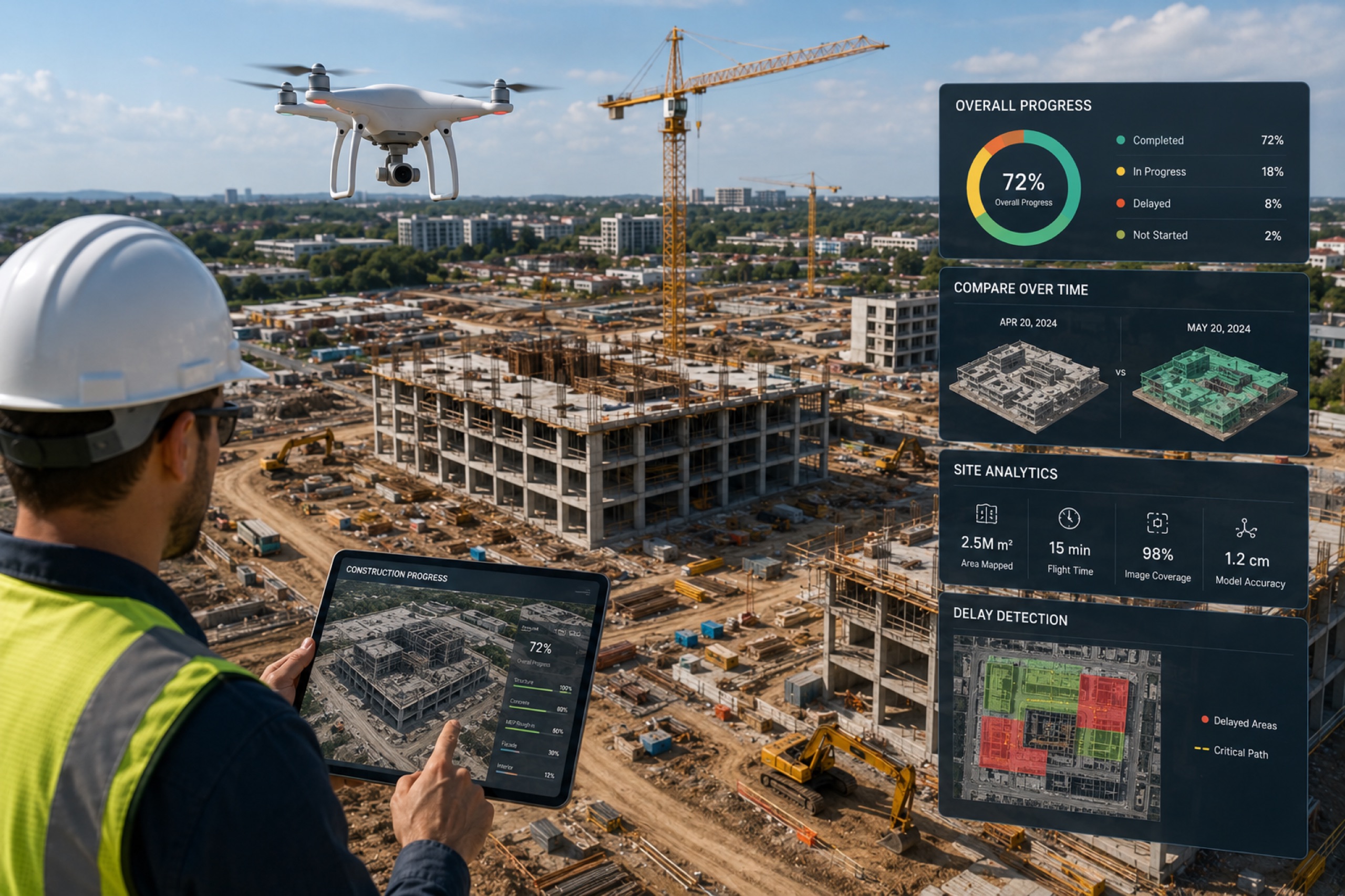
How to track construction progress with drones
Cadence, overlay against design, quantify, and share — step by step.
Drone survey vs traditional land survey
Cost, time, accuracy and coverage — an honest side-by-side.
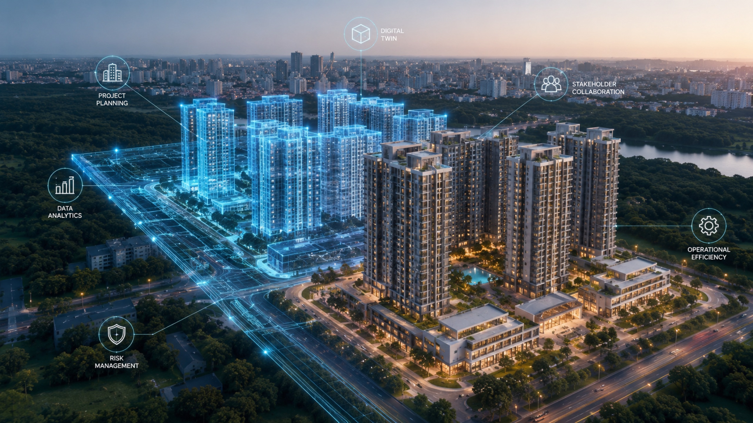
What is a digital twin in construction?
The plain-English definition, and why it beats a folder of photos.
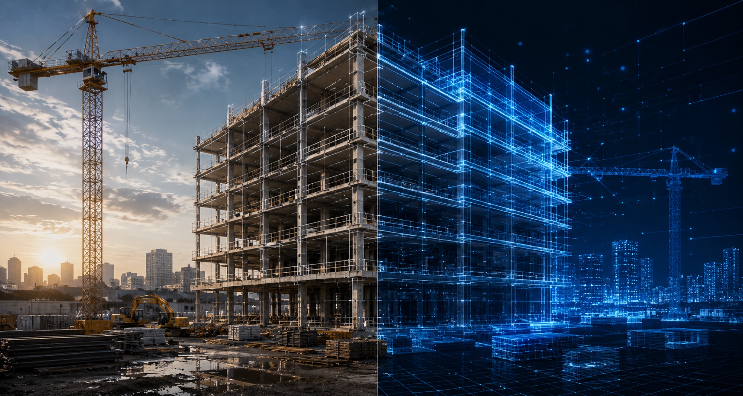
Digital twin vs BIM: what's the difference?
Design intent vs as-built mirror — and where the two meet.

How to measure stockpile volume with a drone
From flight to base plane to automated volume — and the accuracy to expect.
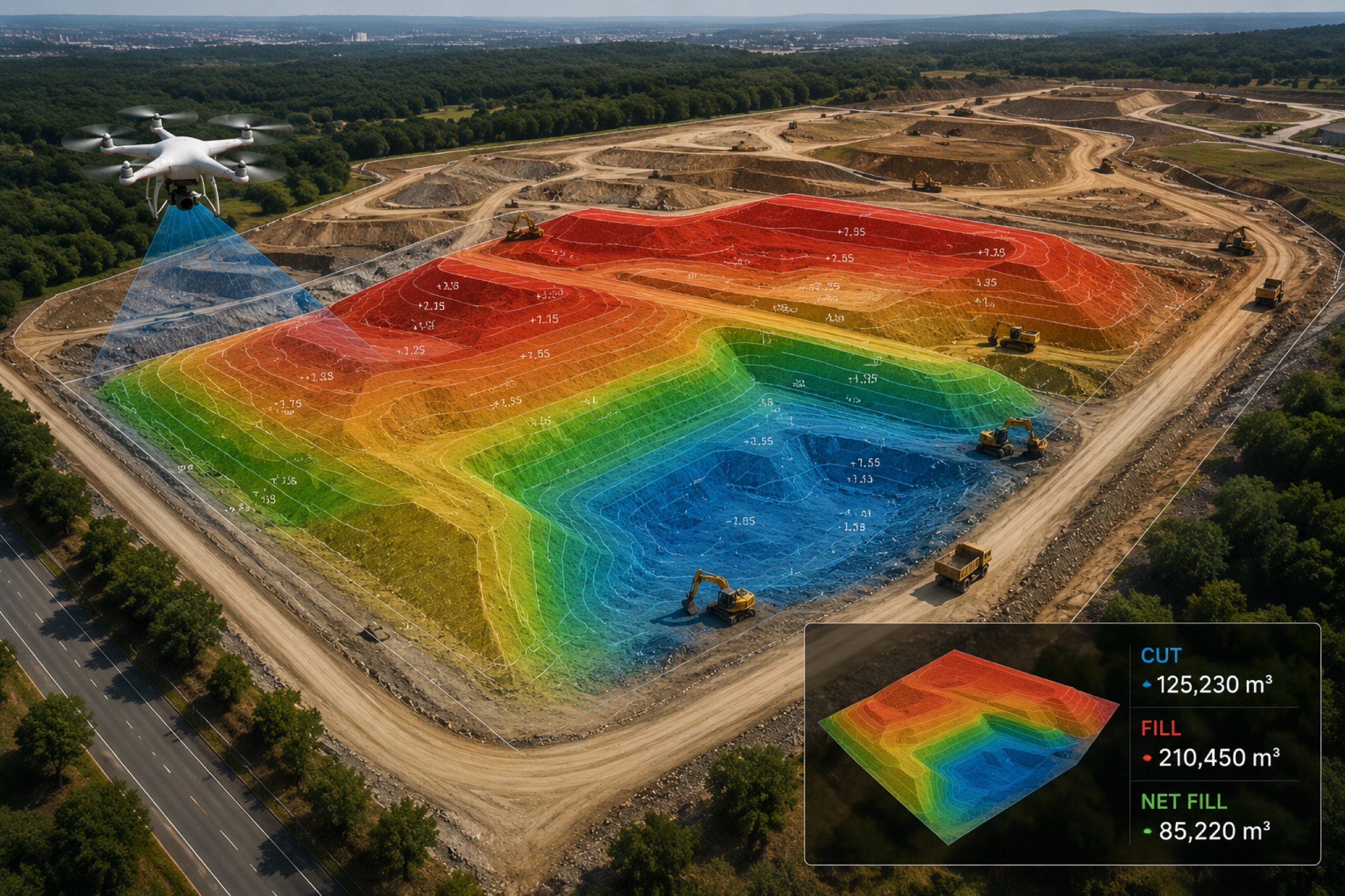
How to calculate cut & fill from a survey
Surface differencing, cut/fill heatmaps and reconciling against design.
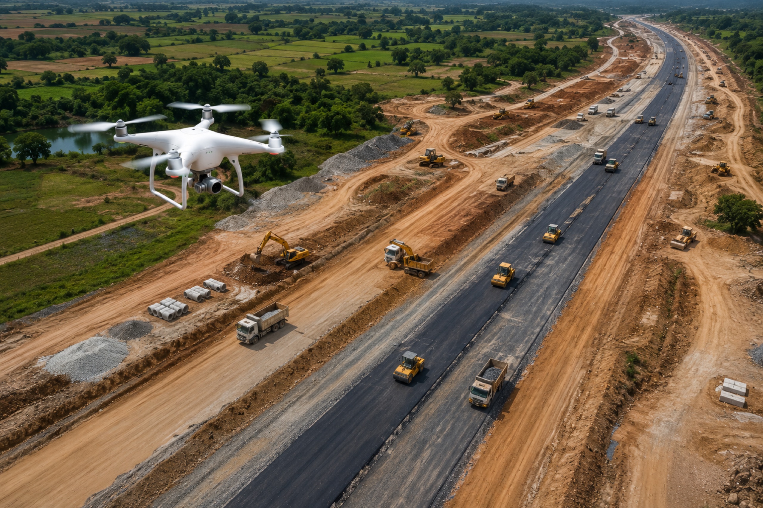
How drones are used in highway construction
Corridor mapping, earthwork volumes and monthly progress on linear sites.
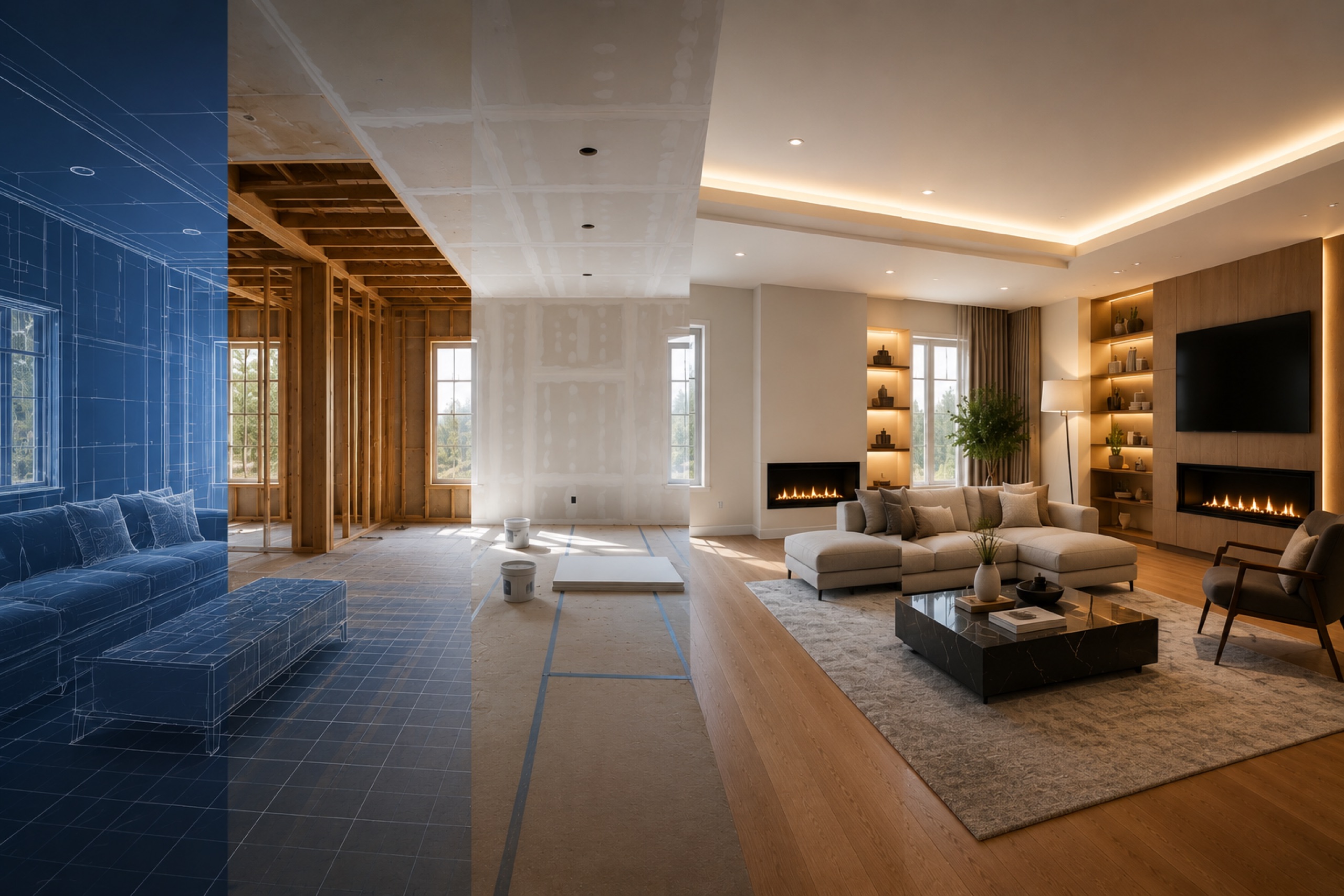
What is interior time travel?
Standing in the same room across capture dates — and why it ends disputes.
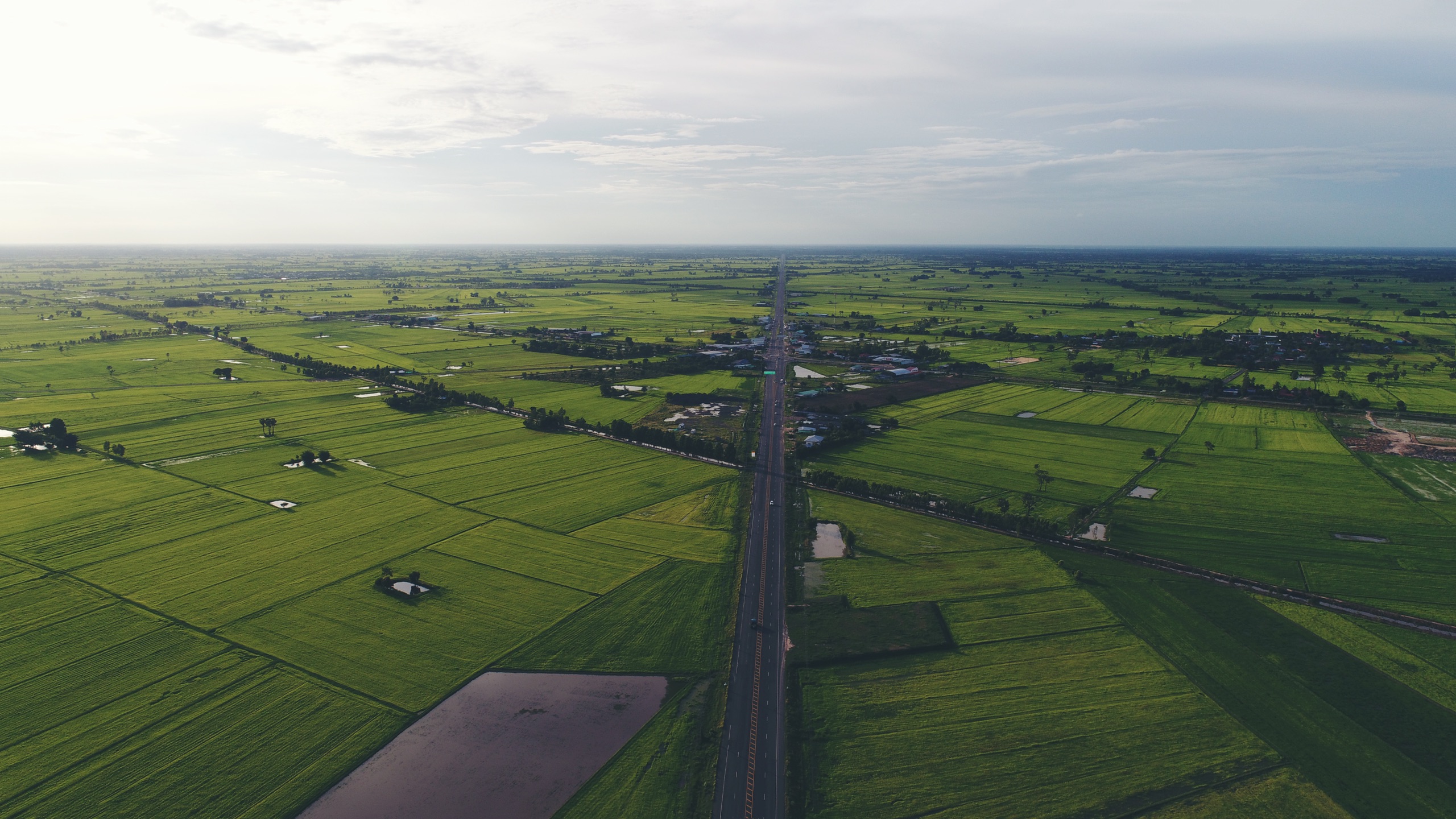
Drone survey for real estate & land in Maharashtra
Contours, boundaries and sales-ready views for developers and plotters.
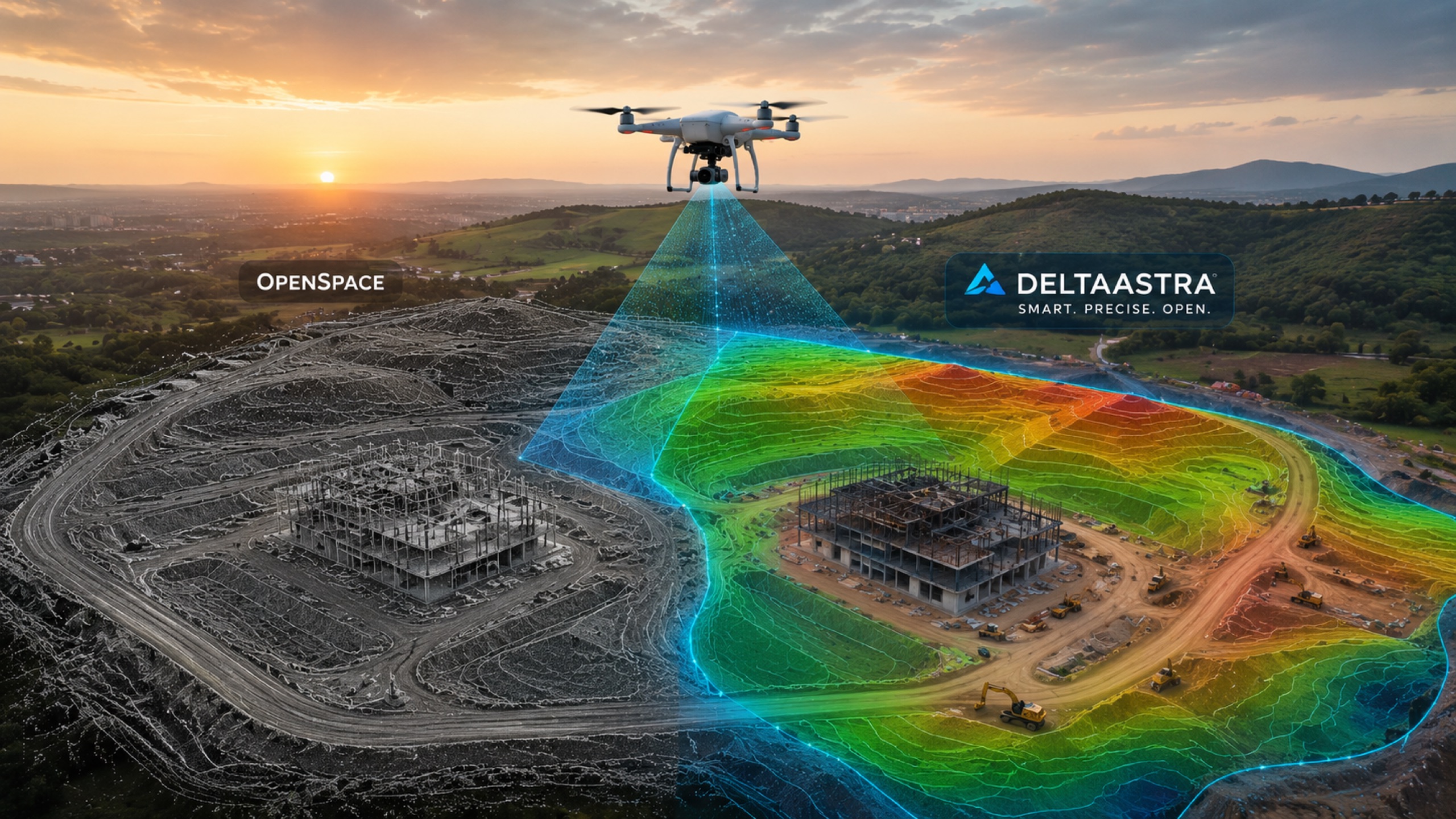
Is Delta Astra an OpenSpace alternative?
Where interior walkthroughs meet survey-grade exterior — the India-first take.
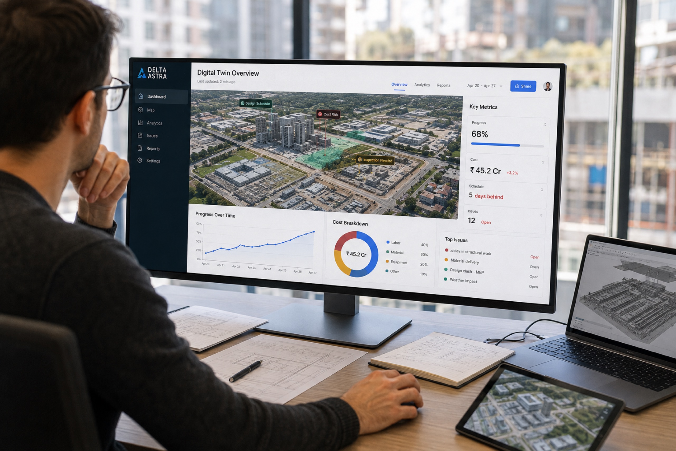
Digital twin to decision engine: our roadmap
From capture, to intelligence, to foresight — how the platform grows.
Go deep on a subject.
The definitive answer on the questions that decide a project — organised into hubs so you, and the AI answer engines your buyers ask, land on Delta Astra first.
Construction Progress Tracking
How teams move from WhatsApp photos to a measurable, RERA-ready record: capture cadence, as-built vs design, quantities that bill, and evidence lenders trust — with AI progress detection arriving in 2027.
Land & Real Estate Survey
What an aerial land survey actually delivers for developers, plotting ventures and owners — accuracy versus a total station, contours and boundaries, plot visualisation, and the sales-ready views buyers respond to.
Volumetrics & Earthworks
Turning captures into quantities you can certify: stockpile volumes, cut-and-fill against design, overburden and grade verification — repeatable to ±2–3% for inventory, billing and reconciliation.
Digital Twin & Progress AI
What a digital twin is, how it differs from BIM, and where it's going: image processing and computer vision that read a site automatically — the shift from documenting the past to understanding the present.
From record, to intelligence, to foresight.
The resources above document today's platform. Here's the direction every one of them is written toward — the one-stop digital twin that doesn't just show your site, it understands it.
Capture
The measurable twin — exterior and interior, survey-grade, with measurement, CAD overlay and time travel.
Intelligence
Image processing and AI: progress detection, interior component recognition, deviation detection and BIM-vs-reality compare.
Foresight
Schedule-risk prediction, portfolio roll-up and an open API — the one-stop platform for all things digital twin.
Quick answers.
How accurate is a drone land survey?
Will AI track construction progress automatically?
How much does a drone survey cost in India?
Digital twin vs BIM — what's the difference?
Field notes, monthly.
New guides, comparisons, and progress on the 2027 AI roadmap. No spam.