Know exactly
what changed on site.
Delta Astra captures your whole site, builds it into a survey-grade digital twin, and maps what moved since the last visit — progress, quantities and deviations, with the evidence behind every number. First twin in 72 hours.
Your whole site.Inside and out.
We document every hectare and every floor —
one platform, every stage of the build.
Capture. Compare. Decide.
Three steps between a site visit and knowing exactly what changed
We capture the whole site
- Our crew captures the site, inside and out
- First survey-grade twin in 72 hours
See exactly what changed
- Each visit lined up against the last & your drawings
- Progress, quantities & deviations, automatic
- The image behind every number
The site reads itself
- Today: you compare and measure
- 2027: AI flags progress & deviations for you
- Human-verified — holds up to owners, auditors, lenders
Every capture,mapped to progress.
Not another folder of site photos. A platform that turns each visit into measured, comparable progress — what advanced, by how much, and where it's off plan.
One platform to map progress.
Self-Capture, Geo-Tagged
After our crew builds the twin, your team keeps it live — capture from any device, pinned to location.
Distance, Area & Volume
Cut & fill, stockpile and earthwork quantities on demand.
CAD & Sheet Overlay
Drawings over reality — as-built vs design, deviation at a glance.
Split View & Time Travel
Same spot, two dates, synced — exterior orthos and interior walkthroughs.
Walk every floor. On any date.
We turn interiors into walkthroughs pinned to your floor plan — stand in any unit, on any capture date, from a browser. No site visit required.
- Walkthroughs pinned to your floor plans
- Interior time travel across capture dates
- Minimap navigation and floor switcher
- Document work before it gets covered up
From mapping by handto mapping it with AI.
- Exterior twin — 3D, terrain, DSM/DTM
- Interior walkthroughs + time travel
- CAD & sheet overlay
- Measure area, volume, cut & fill
- AI progress detection — exterior & interior
- Automatic deviation flags
- Image processing & computer vision
- Schedule-risk & slippage prediction
Stop reading site photos.Start reading progress.
Every site becomes a twin you can measure, compare and share — so decisions stop waiting on someone to sift through images and figure out what happened.
Built for Industrial, Infrastructure & Real Estate.

Industrial & Facilities
Explore →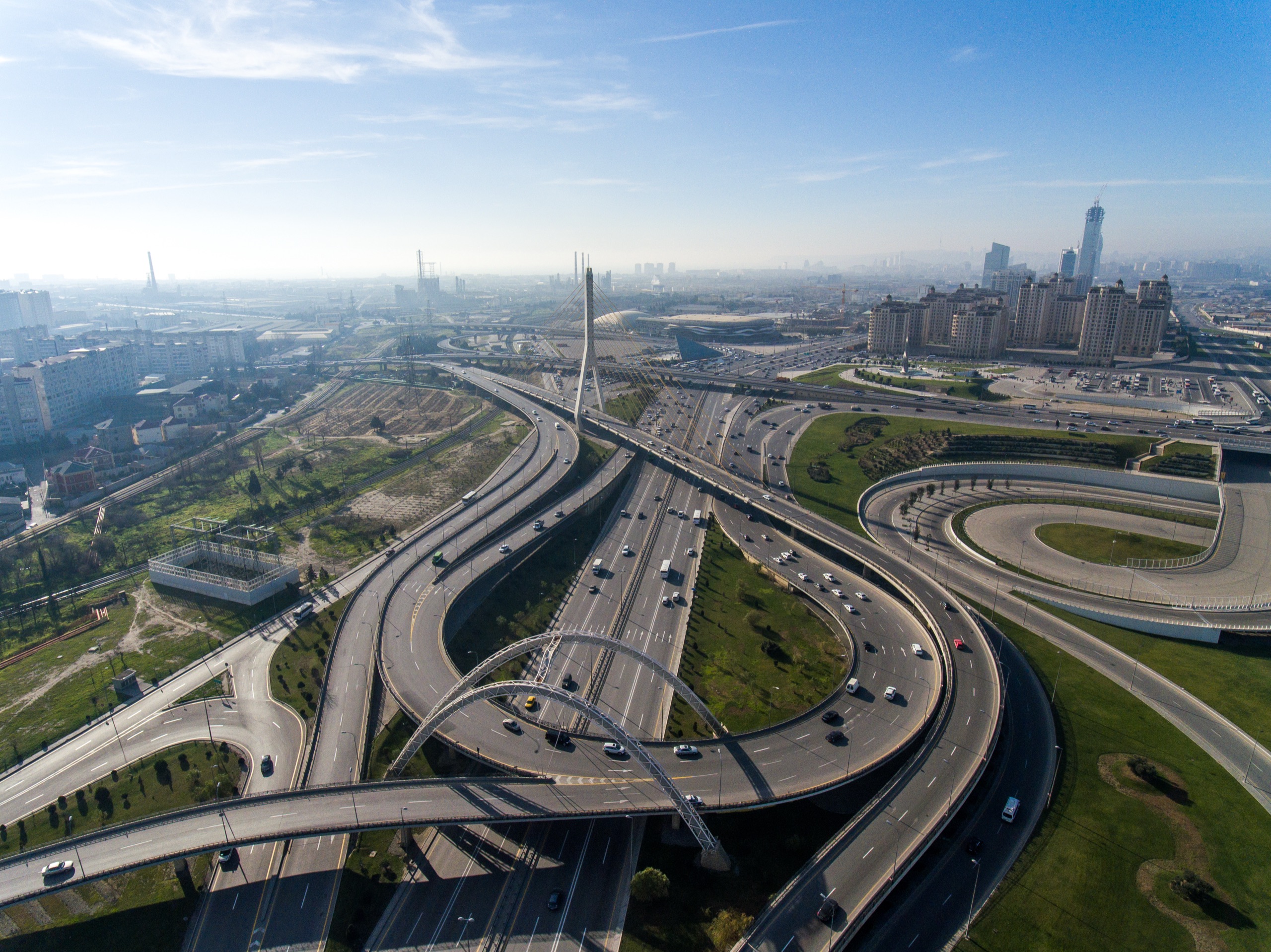
Infrastructure & Highways
Explore →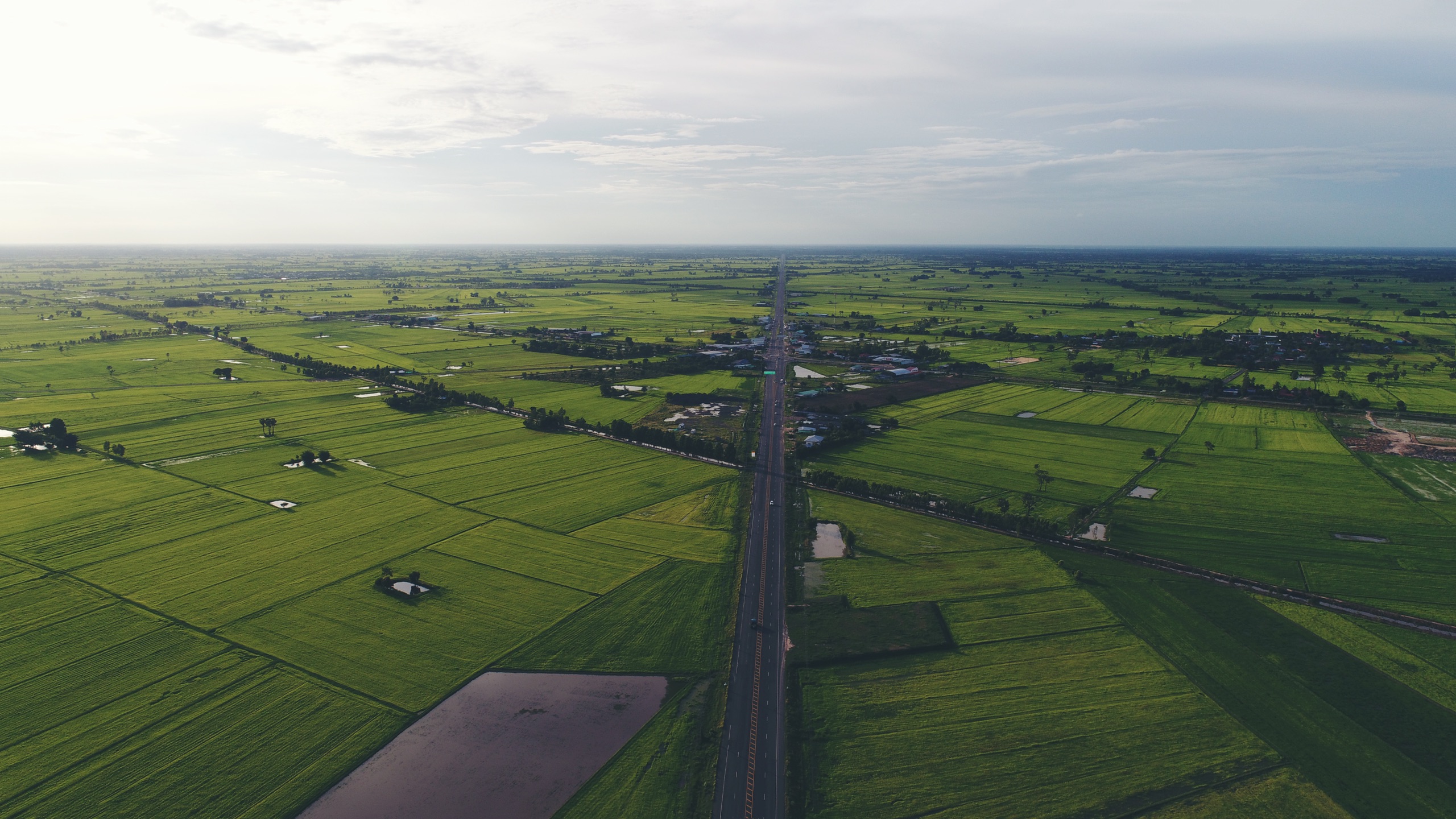
Real Estate & Land
Explore →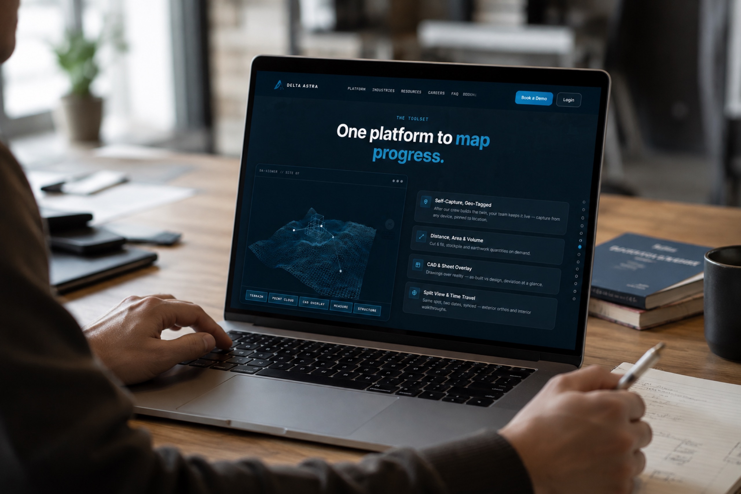
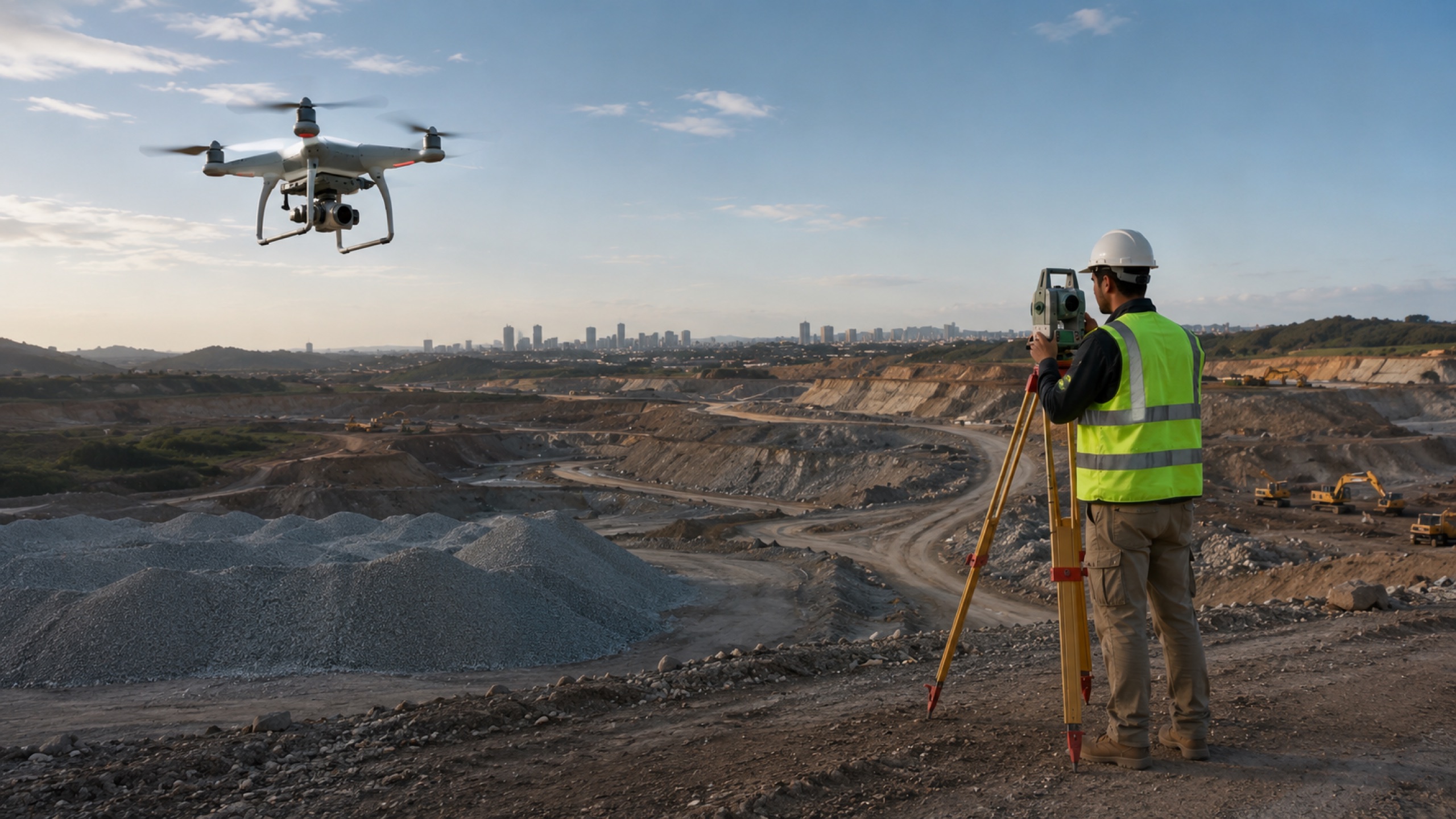
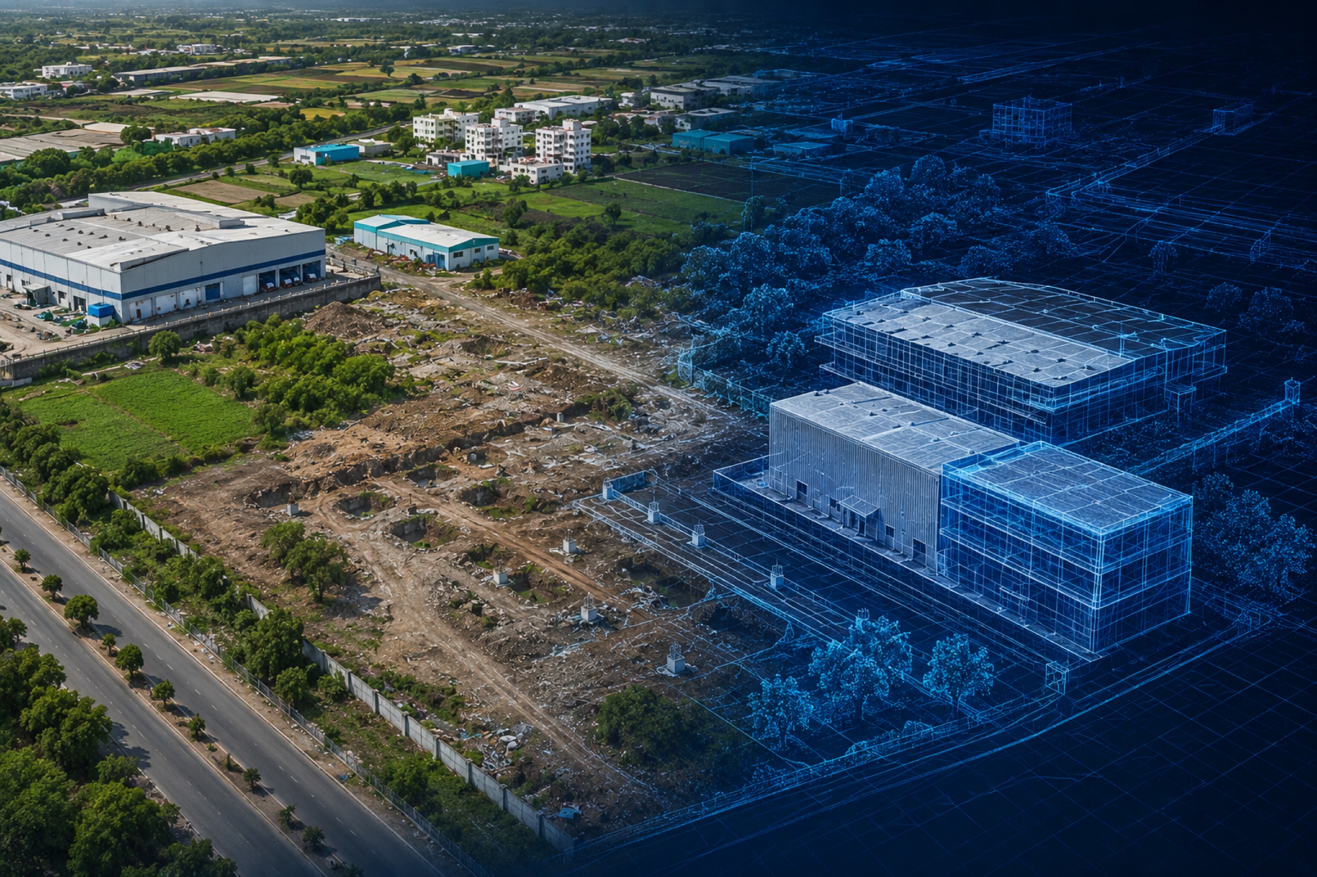
Map your site's progress — first twin in 72 hours.
Our crew captures your site and delivers a survey-grade twin in 72 hours. Then map progress capture to capture — evidence you can bill, build and defend.
Questions, answered.
Straight answers on accuracy, method and cost.