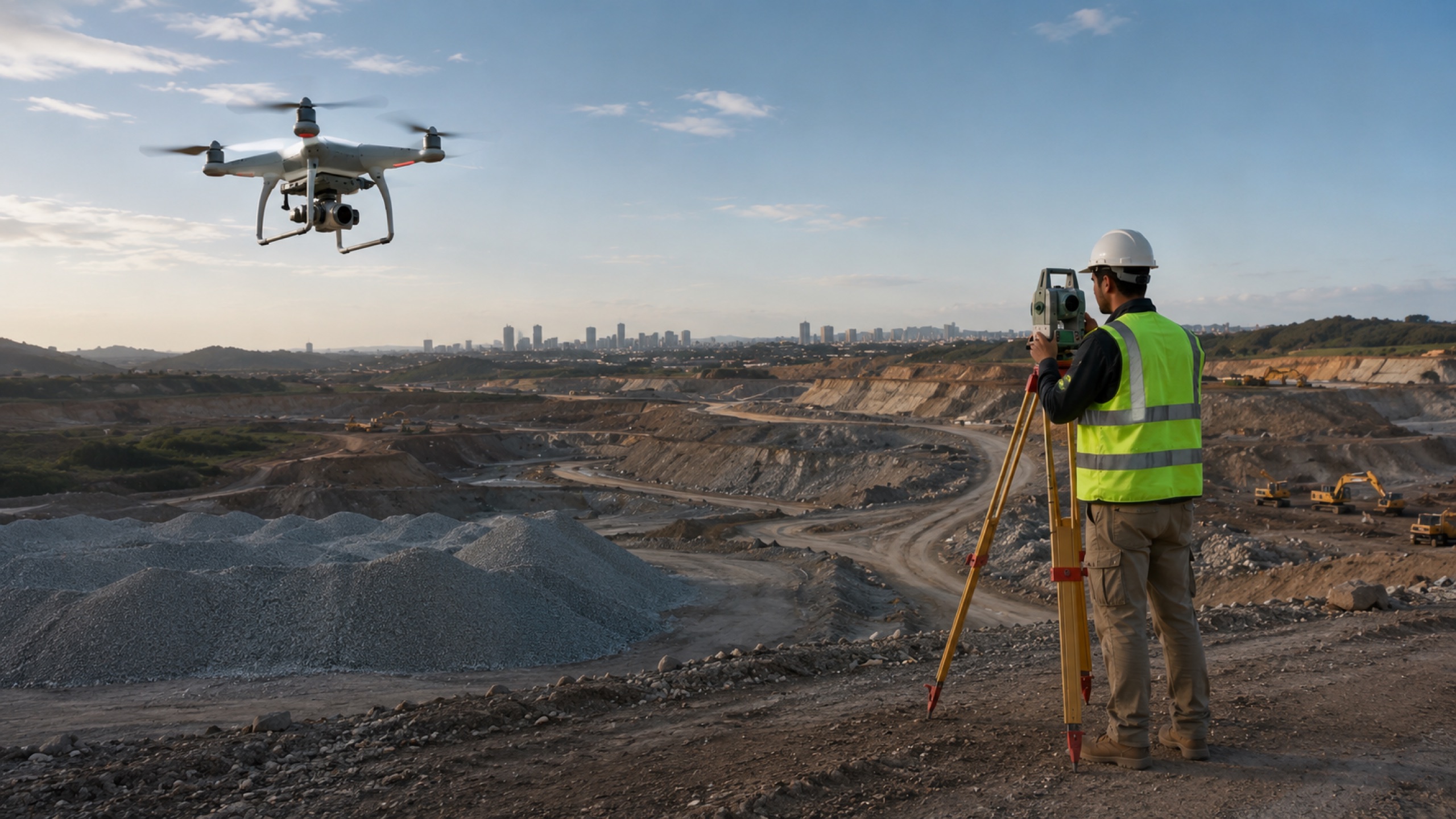
For most land and construction sites, a drone survey matches total-station accuracy (1–3 cm with RTK) while covering far more ground per day and producing a full visual record you can revisit. A traditional survey still wins for a few dense-canopy or single-point tasks.
Accuracy
With RTK/PPK positioning, aerial surveys reach 1–3 cm horizontal accuracy — comparable to a total station for the vast majority of land, real-estate and construction use cases. The honest caveat: heavy tree canopy or very specific single points can still favour ground survey.
Time and coverage
This is where aerial wins decisively. A site that takes a ground crew days can be captured in hours, and you get complete coverage — not just the points someone chose to shoot. That coverage is also permanent: you can re-measure later without revisiting.
Cost
Per-acre, aerial is usually more economical at scale because one capture yields contours, volumes, orthomosaics and a visual record at once. For a tiny single-point job, a ground crew can be cheaper — which is why the right answer is project-specific.
When to use which
Use aerial for land parcels, corridors, earthworks, progress and anything where coverage and revisit matter. Use ground survey for dense canopy, sub-surface, or a handful of precise control points — often the two are combined.
Key takeaways
- RTK drone survey ≈ total-station accuracy (1–3 cm) for most sites
- Aerial covers far more ground per day, with complete coverage
- Per-acre cost favours aerial at scale
- Traditional survey still wins for canopy and single-point tasks