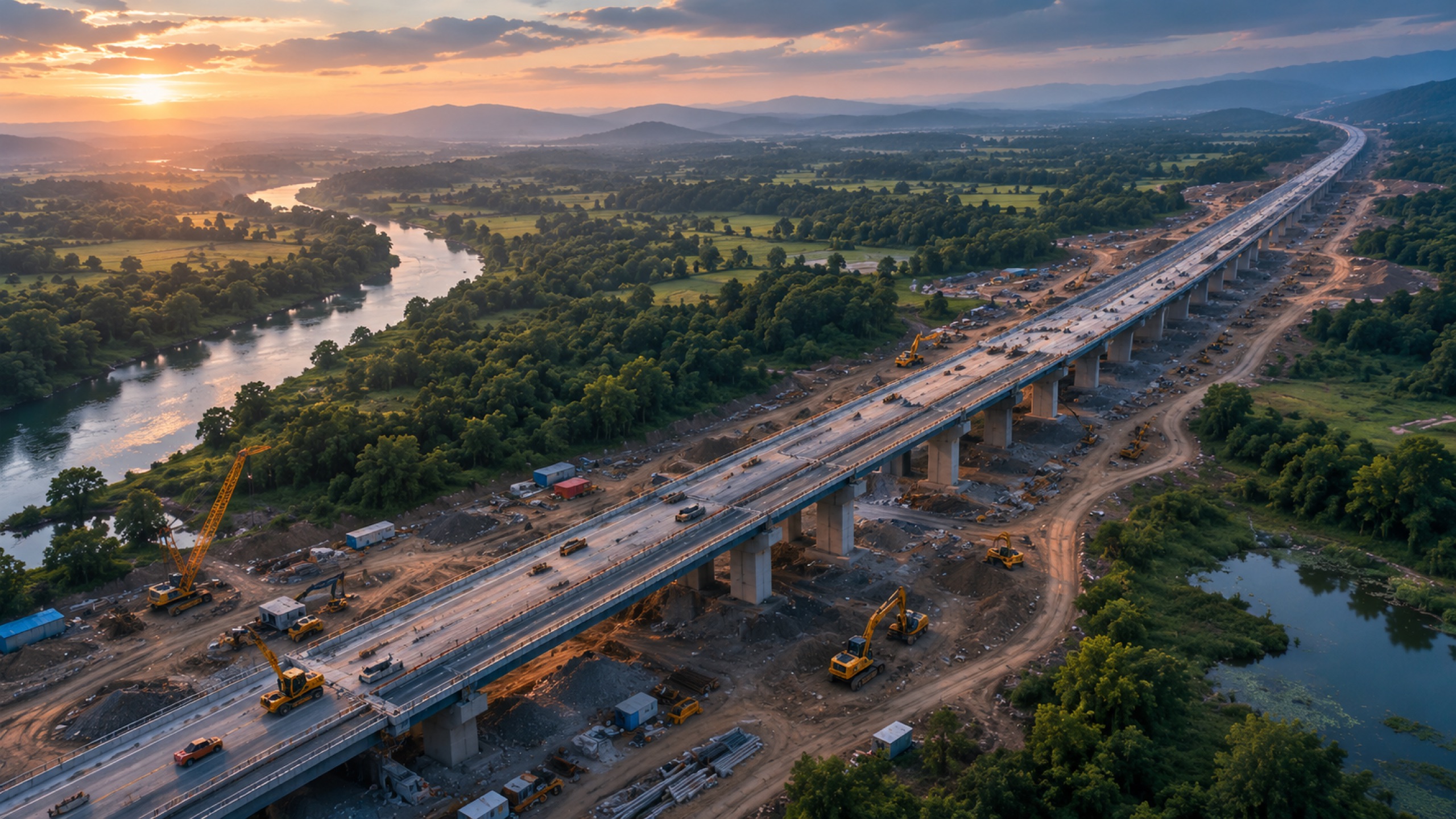
On highways and other linear infrastructure, drones map the whole corridor to survey grade, feed topographic inputs into the DPR, quantify earthwork cut and fill, and capture monthly progress — turning a long, hard-to-inspect site into a measurable, chainage-referenced record.
Corridor mapping at DPR stage
Before construction, aerial capture produces contours, terrain and orthomosaics across the alignment — the topographic backbone of a Detailed Project Report, gathered in a fraction of the time of ground survey.
Earthwork and progress during build
Linear projects live and die on earthwork. Regular capture gives cut-and-fill volumes and grade verification, and monthly progress captures — increasingly mandated — become routine rather than a scramble.
Chainage-referenced deliverables
Everything is tied to chainage so engineers and agencies can audit specific segments. Change detection across captures shows exactly what advanced, where, and by how much.
Key takeaways
- Aerial corridor mapping feeds DPR-stage topography fast
- Regular capture gives earthwork volumes and grade checks
- Monthly progress capture becomes routine, not a scramble
- Chainage-referenced deliverables are auditable by segment