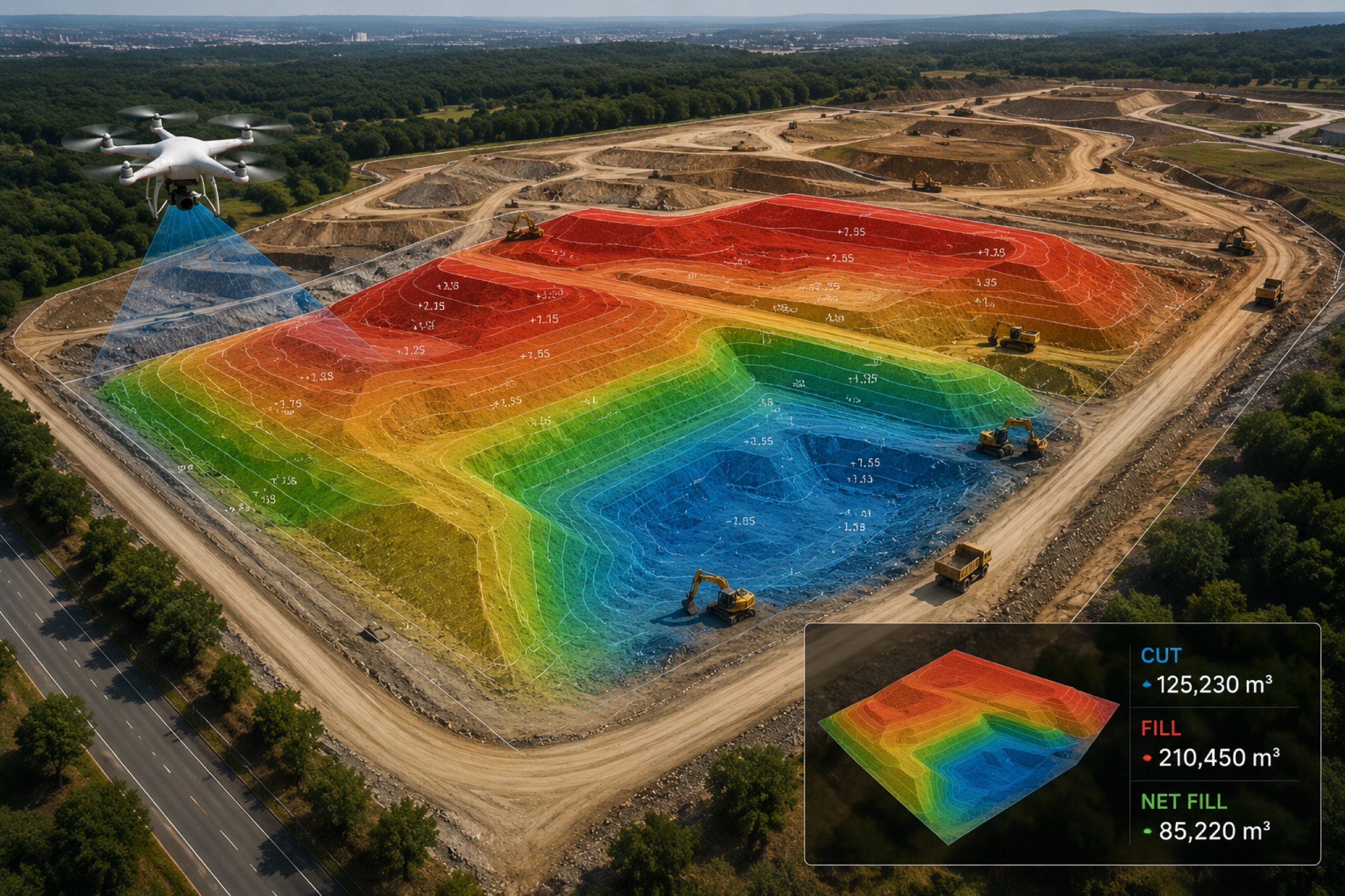
Cut and fill is calculated by differencing two surfaces: the captured terrain against a design surface (or an earlier capture). The result is a volume of material to remove (cut) and to add (fill), plus a heatmap showing exactly where — the basis for earthwork billing and grade verification.
Surfaces are everything
You need two clean surfaces: the current terrain (from capture) and a reference (design grade or a prior date). Quality here decides everything downstream.
Differencing and the heatmap
Subtract one surface from the other. Positive is fill, negative is cut. The heatmap turns that into an at-a-glance picture of where earth is moving and by how much.
Using it to bill and verify
Certify earthwork against measured quantities rather than estimates, and verify final grade against design before you sign off. On a corridor, repeat across dates to track earthwork progress.
Key takeaways
- Cut/fill = differencing captured terrain against a reference surface
- Clean DTM/DSM surfaces drive accuracy
- The heatmap shows where material moved
- Used for earthwork billing and grade verification