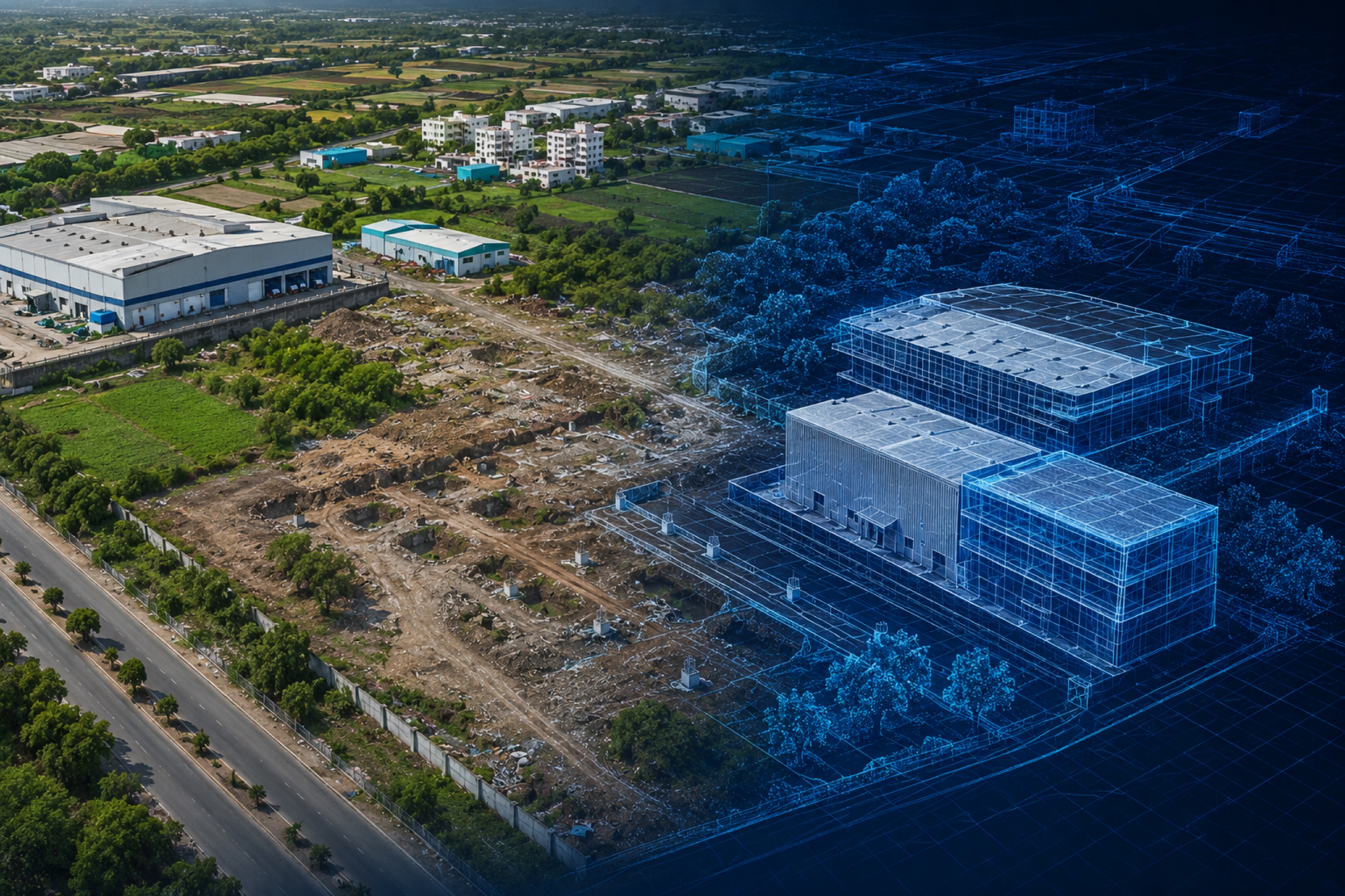
Image processing is how a photograph becomes a fact. In construction, it turns raw site imagery into geometry, then geometry into completion percentages — the pipeline that lets a platform say 'this floor is 60% done' instead of just showing you a picture of it.
From pixels to geometry
It starts with reconstruction: overlapping imagery is turned into a geo-referenced 3D model and orthomosaic. Every pixel gets a real-world coordinate, which is what makes measurement — distance, area, volume — trustworthy rather than approximate.
From geometry to meaning
On top of that geometry, computer vision classifies what it sees. Models recognise construction elements and their state, segment zones, and compare against design and prior captures. This is the step that converts a model into progress — completion by trade, by zone, by floor.
Why it's hard, and getting easier
Construction sites are messy: dust, occlusion, changing light, temporary works. Robust models need training on real site data and a fallback to human review. The payoff is that once it works, it works at portfolio scale — the same pipeline runs on every capture, every week, without extra labour.
Key takeaways
- Reconstruction gives every pixel a real-world coordinate
- Computer vision classifies elements and their state
- The pipeline converts imagery into completion by trade and zone
- It scales across a portfolio without extra manual effort