Industrial & Facilities
Plants, factories, warehouses, refineries and energy sites — from building the facility to running it. We capture inside and out on a fixed cadence and build one twin that shows exactly what got built, when, and how it holds up over time.
What we do
- Periodic exterior capture — orthomosaics, terrain and 3D of the whole site
- Interior walkthroughs pinned to floor plans, with time travel across dates
- Facility-build progress against schedule — planned vs actual, area by area
- As-built vs design overlay to catch deviations before they're covered up
- Quantities on demand — earthworks, areas and volumes for billing
- Evidence-linked progress packs for owners, EPCs and lenders

Infrastructure & Linear Assets
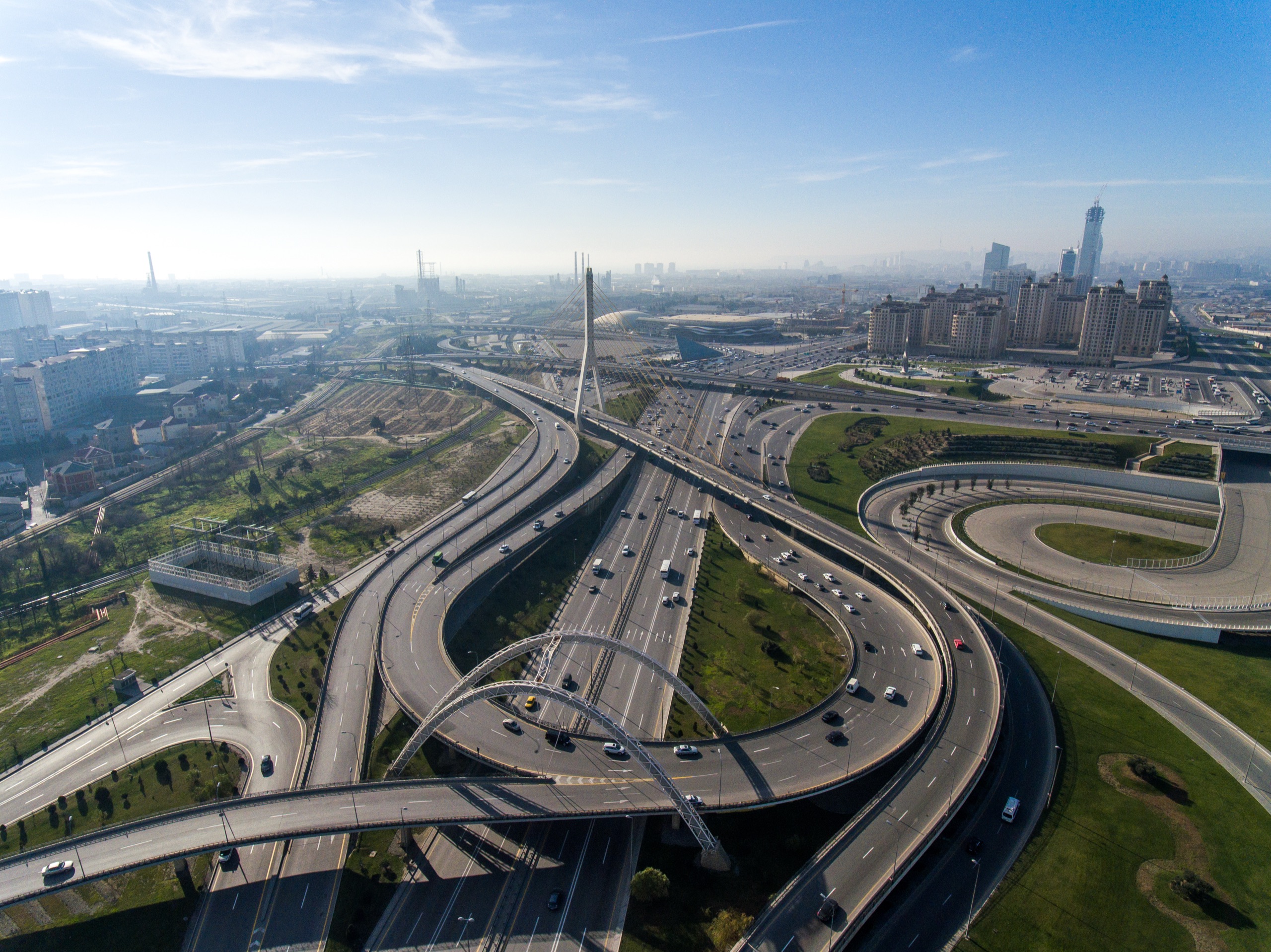
Highways, railways, bridges, corridors, pipelines and earthworks — miles of alignment covered fast. We map earthworks, alignment progress and structures visit to visit, keeping contractors and authorities on the same page.
What we do
- Linear corridor mapping along the right-of-way on every visit
- Cut & fill calculations, earthwork quantities and stockpile measurement
- CAD alignment & design overlay against current site state
- Bridge, culvert and structure progress mapped to stationing
- Shareable web links for field teams, consultants and agencies
Real Estate & Land
Residential towers, commercial developments, townships and land parcels. Turn site progress into a verifiable record for developers, project monitoring consultants, lenders and buyers.
What we do
- Tower & podium progress mapping — foundation to structure to finishing
- Floor-by-floor interior walkthroughs for MEP, civil & finishing trades
- Land parcel surveys — boundaries, contours, earthwork and site prep
- Verifiable progress evidence for RERA compliance and bank drawdowns
- Time travel slider to demonstrate progress to investors and buyers
Same platform, adjacent sectors.
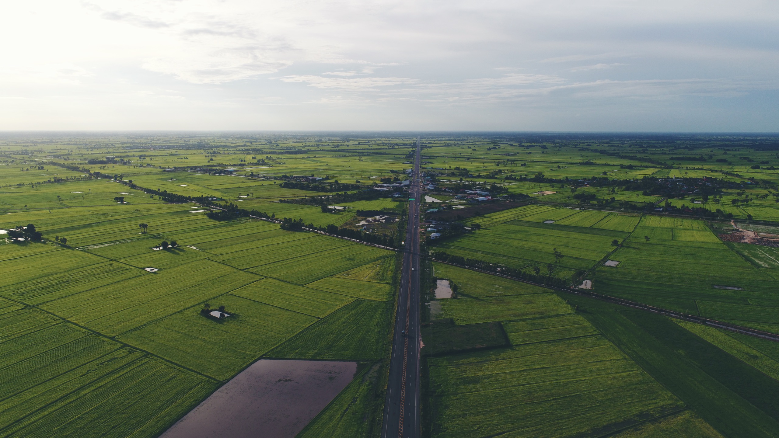
Industrial, infrastructure and real estate are our focus — but the same digital-twin platform, and the same 2027 AI, deliver wherever measurable ground truth matters.
Stockpile & volume reconciliation
Periodic volumetrics for stockpiles, overburden and extracted material — reconciled against plan for inventory and billing.
Site & asset condition
Solar, plant and utility site mapping and periodic condition views — manage large footprints without walking every metre.
Independent progress verification
Survey-backed, geo-tagged evidence of physical progress for disbursement, monitoring and portfolio audit.
Every industry runs on the same twin.
See it on your site.
Book a paid pilot and we'll capture, build and hand back a working twin — before you commit to a program.
Book a Paid Pilot