01 General & coverage
What does Delta Astra do?
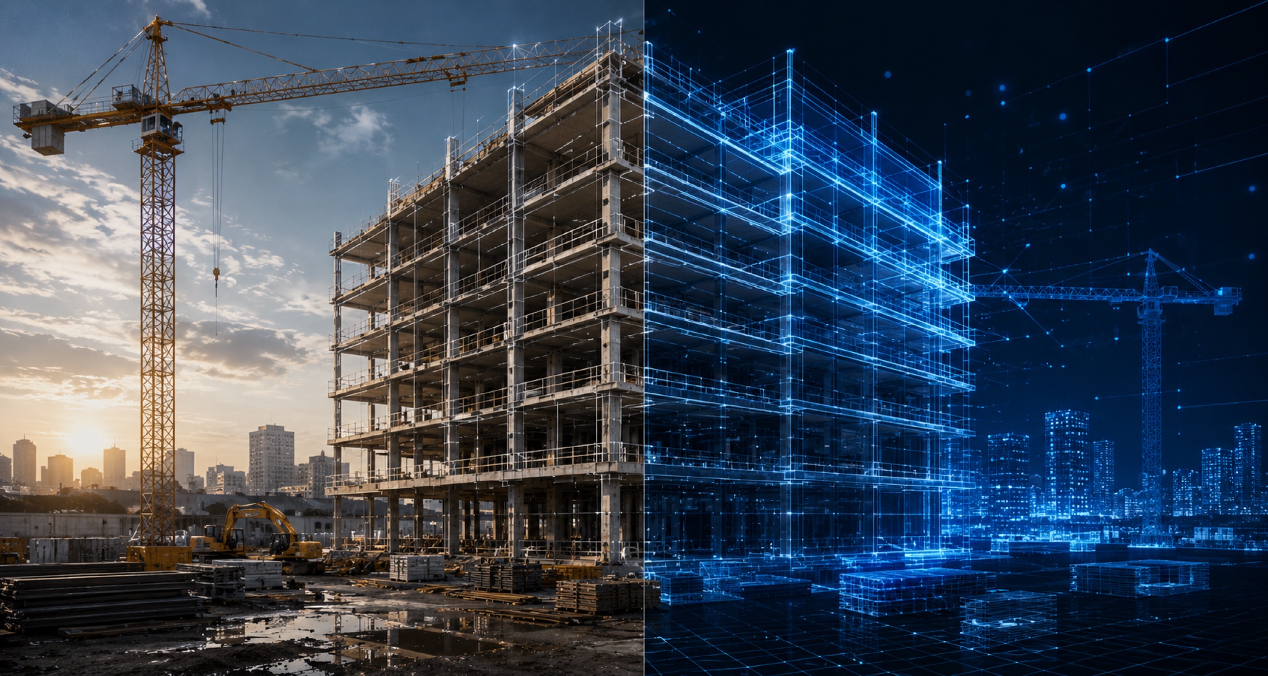
Delta Astra is a digital twin platform for the built environment. We capture your site — exterior and interior — build a measurable 3D twin, and give you progress tracking, CAD overlays, walkthroughs and survey-grade measurement in one portal, for industrial, infrastructure and real estate across Maharashtra.
Which areas in Maharashtra do you serve?
We serve projects across Maharashtra including Pune, Mumbai, Nagpur, Nashik, Thane and Chhatrapati Sambhajinagar (Aurangabad), and take on larger programs elsewhere in India. Our base is Pune.
Can we capture the site ourselves?
Yes. Delta Astra offers self-capture: anyone on site can capture in seconds and every capture is automatically geo-tagged to its location and flows straight into your twin. Self-capture, have our team capture, or mix both on the same project.
Do we need to buy any equipment or software?
No. Delta Astra handles capture end-to-end and delivers everything through a browser-based portal — nothing to buy, operate or install on your side.
02 Accuracy & method
How accurate is a drone land survey?
A survey-grade aerial land survey achieves 1–3 cm horizontal accuracy — comparable to a traditional total-station survey for most land, industrial, infrastructure and real estate survey use cases — while covering large sites in hours. Every deliverable states its accuracy.
Drone survey vs traditional land survey — which is better?
For most land and construction sites an aerial survey matches total-station accuracy while covering far more ground per day and producing a full visual record you can revisit. Traditional survey still wins for a few dense-canopy or single-point tasks, so we scope each project honestly.
How is stockpile volume measured?
An aerial pass reconstructs the stockpile surface, a base plane is set, and volume is computed automatically. Results are repeatable and typically within ±2–3% — accurate enough to reconcile inventory, plan production and certify bills against.
How do you calculate cut and fill?
We difference the captured terrain surface against a design or earlier surface to produce cut-and-fill quantities and a heatmap of where material moved — used for earthwork billing and grade verification.
03 Construction
How do you track construction progress?
We capture your site on a fixed cadence, exterior and interior, and build a measurable twin. Each capture is compared against the previous one and against design, so progress, deviations and quantities show up in your portal as a time-stamped, RERA-ready record.
What is as-built vs design comparison?
It overlays your drawings or model onto captured reality so you can see where what's built diverges from what was designed — catching deviations early, before they get covered up, and turning them into trackable field notes.
Do you capture building interiors as well as exteriors?
Yes. We deliver immersive interior walkthroughs pinned to your floor plans and survey-grade exterior models. Walk every floor from a browser, jump between capture dates at the same spot, and document work before it gets covered up.
What is interior time travel?
Time travel lets you stand at the same point on a floor plan and flip between capture dates — the same room at slab, framing, services and finish stages — a visual audit trail of what was built, when, and what got covered up.
Can you support RERA progress monitoring?
Yes. Our captures produce time-stamped, evidence-linked progress records structured for periodic reporting, so RERA and owner updates are backed by verifiable site data instead of a scramble of photos.
04 Infrastructure
How do drones help highway and infrastructure projects?
For linear infrastructure we deliver corridor mapping, DPR-stage topographic inputs, earthwork cut-and-fill volumes and periodic progress capture — aligned to the monthly survey cadence agencies increasingly mandate, with chainage-referenced deliverables.
What is a DPR survey?
A DPR (Detailed Project Report) survey provides the topographic and terrain inputs needed to plan a project — contours, levels and site context — captured quickly and to survey-grade accuracy so design can begin on reliable ground truth.
How do you help lenders verify progress?
We provide independent, geo-tagged, survey-backed evidence of physical progress tied to disbursement milestones — so draws match ground truth, not just the borrower's claims. Useful for lender's independent engineer support and portfolio monitoring.
05 Real Estate & Land
What do you offer for real estate and land?
Land and contour surveys, plot and layout visualisation, boundary and encroachment checks against records, and sales-ready aerial views and site tours — with survey-grade accuracy for developers, plotting ventures and land owners.
Can you produce marketing visuals for a project?
Yes — alongside the survey-grade data we produce cinematic aerial views and shareable site tours that developers use for sales and investor updates, all from the same capture.
06 Platform & AI
What is a digital twin in construction?
A measurable 3D virtual replica of a site, built from capture data and updated as the site changes. Teams use it to monitor progress, calculate volumes, detect deviations from design and keep a permanent record of what was built, when.
Digital twin vs BIM — what's the difference?
BIM is the design-intent model of what should be built; a digital twin is the as-built mirror of what actually exists on site, captured over time. The two are complementary — we can compare your BIM against captured reality.
Are you building AI progress detection?
Yes — through 2027 we're rolling out image processing and AI that reads progress directly from captures: exterior earthwork and structure detection, interior component recognition, automated deviation detection, and BIM-vs-reality comparison, with human-in-the-loop review.
Is Delta Astra an OpenSpace alternative in India?
Delta Astra offers OpenSpace-style interior walkthroughs, floor-plan pinning and time travel — and adds survey-grade exterior mapping, CAD overlays and measurement toolsets in one platform, with India-first support and RERA-friendly reporting.
07 Pricing & getting started
How much does a drone survey cost in India?
Cost depends on site area, terrain, deliverables and revisit cadence. Small parcels are economical on a per-acre basis; large corridor, mining or portfolio programs are priced per project. We offer a paid pilot so you can evaluate real deliverables first.
How quickly do we get deliverables?
Most deliverables land within days of capture. The exact turnaround depends on site size and the deliverable set, and is agreed up front so reporting stays predictable.
How do we get started?
Book a paid pilot. We capture your site, build the twin and hand back working deliverables so you can evaluate the platform on your own project before committing to a program. Email contact@deltaastra.com.
Where we're headed
The answers above are today. This is next.
Live now
Capture
Measurable twin — exterior & interior, measurement, CAD overlay, time travel.
2027 · In build
Intelligence
AI progress detection, interior component recognition, deviation detection, BIM compare.
Next
Foresight
Schedule-risk prediction, portfolio roll-up and an open API.
Still have a question?
Tell us about your site and we'll answer specifically — then show you a working twin with a paid pilot.
Ask us directly